This is the first of a three part series on hiking in southern Arizona with humanitarian volunteers: Part 1, Part 2, Part 3 & photo gallery
A few days before I was scheduled to hike with Samaritans, I walked into the parking lot and winced – not just because the heat was hitting me at that moment but because I knew that hiking in this heat with only limited shade would be even worse. But the desert in Arizona is far from predictable. I woke up that Saturday shivering and piled on the layers before starting the drive south. The car shook in winds that swept the highway before we even left Phoenix and the digital bulletin boards warned of possible haboob conditions on the I10. I shuddered, remembering coverage of an accident caused by haboob conditions near Picaco Peak in September 2011.
 We arrived along with the dawn, the early morning light showing us the empty parking lot at Southside Presbyterian where the Samaritans have a container full of trip gear from socks and blankets to water and food. There’s also notebooks for trip reports and GPS devices to help the volunteers map trails as well as not get lost themselves.
There would be four of us hiking – our leader Bob, a new volunteer named Dorothy who’s recently relocated from the east coast, Steven and myself.
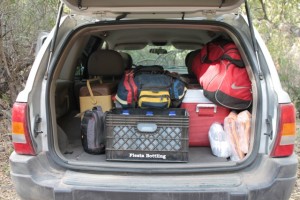
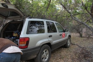
I shivered as we loaded the jeep with supplies and the magnetic Samaritans labels to put on the vehicles doors once we got off the highway. I wondered if I should have brought a warmer hat and maybe mittens, annoyed that I’d forgotten Tucson’s coolness compared to the valley of the sun. Then I tried to comfort myself by remembering that the sun hadn’t even been up an hour yet. There was no way things were going to stay this chilly.
We piled in and hit the road.
The plan had been to hike in the Tumacacori area, but the stormy weather made that dangerously unpredictable as well as uncomfortable. As we drove south from Tucson, we could see the dark cloud signs of storms and intermittent rain there. In desert terms that means big winds and slick rocks at best – sudden temperature drops, darkness and possible flash flooding at worst.
 Bob opted for an alternative hike, going further south, then cutting west of Nogales, Arizona to a starting point about five miles from the border. This trail is lower and runs down a protecting canyon.
We pull off the highway to a gravel road, then off of the gravel road to a flattened area where we can leave the jeep. As we unload our gear, two border patrol vehicles roll past slowly, an SUV and one of the apprehension vehicles that looks like a dog catcher’s truck. They nod as they grind by towards a bend in the road – then stop, execute slow three point turns, and nod again on their way out.
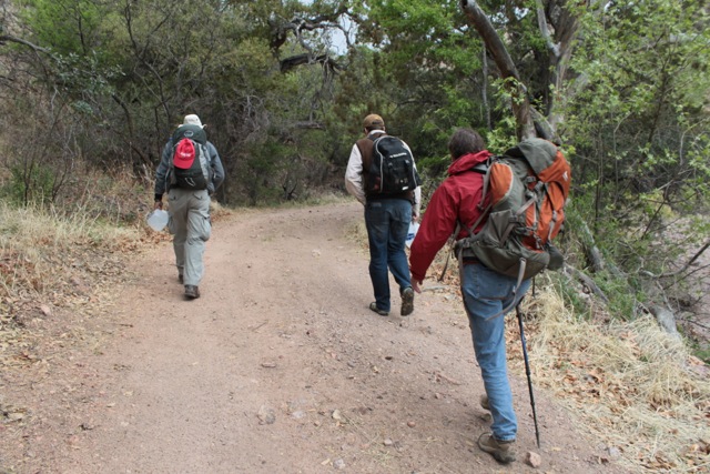
We lock the vehicle, shoulder our packs and start down the trail into the canyon, our feet mimicking the crunching of the vehicles on a much smaller scale.


Ok, ready for part two now! 🙂
Here you go! : http://missingfrommexico.com/hiking-with-samaritans-part-2/ (and look for the third and final part on Thursday)